State of Our Region
State of Our Region brings together regional data and the voices of residents to tell a fuller story of how our 14-county region is growing—and how the people who call it home are doing.
Led by the Charlotte Urban Institute, it is an annual public analysis for understanding our region and shaping conversations about its future.
Our story, together.
Home is more than a place on a map. It’s the roads we travel, the neighborhoods we know, the farms and forests that stretch beyond our cities. It’s the places where we gather, the rivers that have carried generations of people and industry, the small towns and growing communities that give this region its character. It is where we build our lives, raise our families, find opportunity and imagine what comes next.
Our home is also changing.
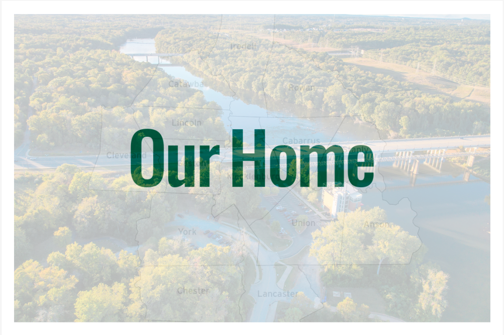
Across 14 counties, from the North Carolina Piedmont to the South Carolina midlands, communities in the Charlotte region are experiencing remarkable growth and transformation. New homes and businesses are reshaping the landscape. A growing skyline reflects new prosperity. And, at the same time, farms, forests and small towns remain enduring reminders of the history and natural heritage that have shaped who we are.
For generations, this region has been a place of crossroads and connection. Native American trading paths brought people together long before the modern city emerged. Rivers later powered mills and industry. Today, highways, universities, businesses and communities connect people across county and state lines in ways that continue to shape our shared future.
And we have questions. Big questions.
But namely one prevails: As the region changes, is life actually getting better for the people who call it home? It’s a question that can’t be answered by economic measures alone — they don’t tell the whole story.
That is the idea behind the State of Our Region.
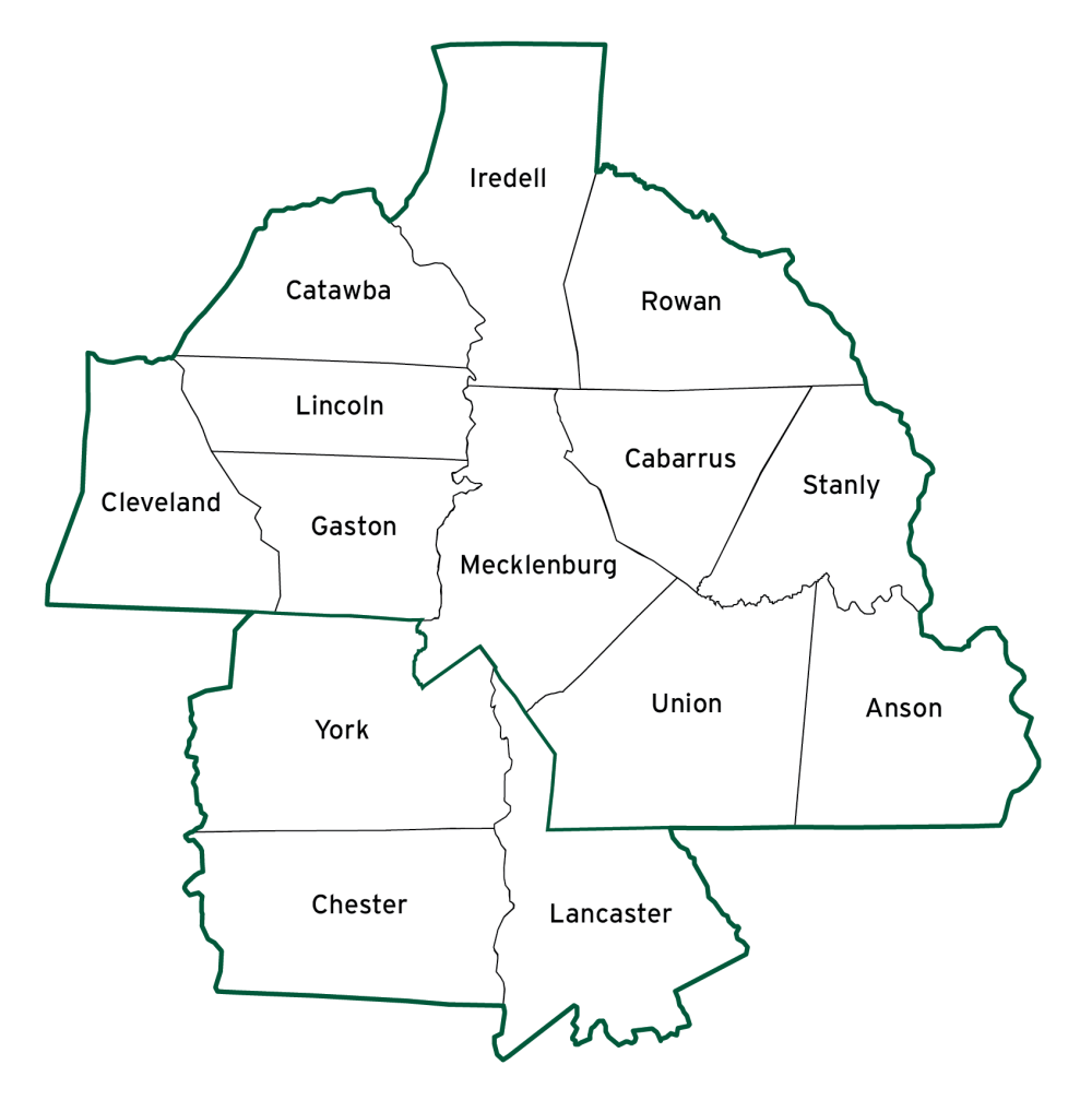
Each year, the Charlotte Urban Institute and Regional Data Trust brings together different ways of understanding our home. That includes considering What mapped data tell us about the communities in our 14-county region and what survey data tell us about how they perceive their lives. The annual event will report new findings and the Carolinas Regional Explorer will become a digital platform to further explore the maps, the survey results and the data stories that bring it all to life.
The Your Voices Carolinas Regional Well-being Survey captures the perspectives of people across all 14 counties, while the Carolinas Regional Explorer will make regional indicators and trends available to everyone. Together, these tools create a shared record of where we are — and, over time, where we are going.
Because a region is more than its statistics. It is the people behind the numbers. The places behind the maps. The experiences behind the measures. And while each of us experiences home differently, we share a stake in understanding the place we call home.
This is our opportunity to listen, to learn and to look honestly at both the promise and the challenges before us.