Clouds create dramatic skies

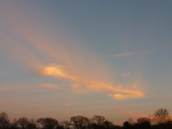
Old Man Winter is stingy with his days. He seems to begrudge us every second of tepid light. At sunset, though, he becomes an extravagant spender – the bon vivant who picks up the tab for everyone at the bar. Gaudy colors saturate the sky, becoming more outlandish by the moment. They linger, slowing and muting, as the daylight fades. I’ve even seen a flash of gold rain down from the clouds before the dark takes hold.
In summer, our sunsets are dulled by humidity and pollution, but the dry, clean air we experience in winter allows us to see them at their most brilliant. These colors take shape on an array of clouds. Scientists make distinctions based on their shape and texture and their distance from the ground. They use Latin roots to help assign the names: cirro (high), alto (mid), strato (layer), cumulo (heap) and nimbo (rain).
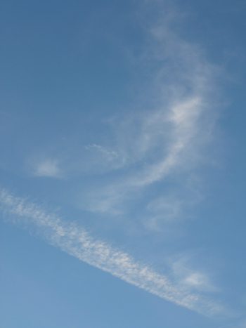
 Thin, wispy cirrus clouds are composed of ice crystal in the upper reaches of the sky. They can sometimes resemble dissipating jet contrails. These fair weather clouds point in the direction the air is moving at that elevation. They make me think of feathers, as if some giant bird had lost them as it winged across the sky. An approaching warm front might cause them to thicken into cirrostratus clouds, a thin veil that stretches across much of the sky. Cirrocumulus clouds are patterned like scales on a fish, giving rise to the term mackerel sky (Scroll to the bottom of the article for a slide show of some of these cloud formations).
Mid-level clouds, which occur between 6,500 and 20,000 feet, are generally made of water droplets, but they can include ice crystals in cold weather. Altocumulous clouds, a thicker, puffier version of mackerel sky, are usually a sign of unstable weather. In winter, they often occur as a cold front approaches. If they’re present on a summer morning, thunderstorms are likely later in the day. The flat, uniform clouds seen at this level are known as altostratus. When they thicken and move to lower levels, they become stratus clouds, often covering the entire sky.
Stratocumulus clouds also occur at the lowest levels. As the name suggests, they’re a hybrid, a mix of flat and puffy clouds. They’re a common sight in the sky, developing on both ends of frontal systems. Dark nimbostratus clouds are often accompanied by light to moderate precipitation. Depending on the temperature, it can take the form of either rain or snow.
Puffy cumulus clouds are a sign of fair weather in our summer skies. These shape shifters have life spans measured in minutes, not hours. They inspire our imaginations on lazy, summer days. I see a poodle! No, it’s a lamb! I see cotton candy! And an ice cream sundae – with a cherry on the top! Cumulus clouds usually grow no higher than heated air is able to rise above the earth, but in unstable conditions, vigorous updrafts can send these docile clouds to heights of 50,000 feet or more and create the towering monsters known as cumulonimbus. The word itself sounds beautiful and ominous, which is fitting for a cloud that produces awesome thunderstorms. Winter sunsets might sport the most spectacular colors, but thanks to cumulonimbus clouds, we can also look forward to plenty of drama in our summer skies.
For more information on clouds, visit http://science-edu.larc.nasa.gov/SCOOL/cldchart.html and
http://www.crh.noaa.gov/lmk/?n=cloud_classification.
A cloud photo gallery
[view:slideshow2=block_1]