What will Charlotte look like? This new tool makes it easier to visualize
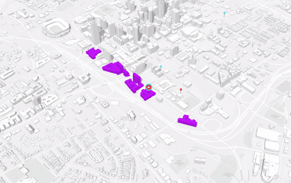
The skyline changes every year in a fast-growing city like Charlotte, as parking lots morph into high-rises and humble houses or older building are demolished to make way for the next big thing.
It can be tough to keep track of the changes, and even harder to visualize what a proposed development might look like once it’s actually built. A new tool the Charlotte-Mecklenburg Planning Department is planning to adopt soon could make that easier.
Last week, planning staff presented a demonstration of ArcGIS Urban, a three-dimensional modeling service by Esri, at City Council’s Transportation, Planning and Environment committee meeting. ArcGIS Urban allows planners to create 3D models of proposed buildings and zoning changes, as well as modeling the impact on employment, shadows and a wide variety of other factors.
That would be a major change from the information Charlotte planners work with now, especially visually. City Council members and other planners considering new developments rely largely on flat site plans, which show the footprints of buildings, parking lots, open space and other features. Here’s an example:
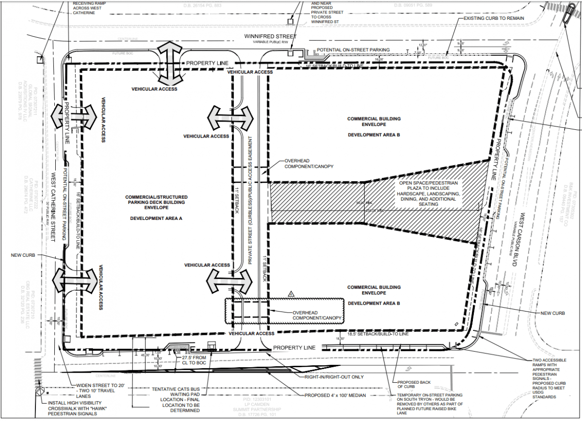
The site plan for a new office development on West Carson Boulevard in South End. Source: City of Charlotte rezoning documents.
It can be tough to picture what a new building will look like from those plans if you’re not a professional designer. Council members might get a rendering or two to go with the site plans, but those are static and only focus on the planned building — not its larger context.
But ArcGIS Urban could give council members, planners and the public access to a whole new perspective on proposed developments. Instead of just looking at a site plan or a single, often stylized rendering, you would be able to rotate your view around a proposed building, view it from multiple angles and see how it works within the surrounding neighborhood.
Check out a video demonstration of the tool:
“Right now, everything you look at is on a two-dimensional level,” said Jaiyeoba. “Imagine a future rezoning meeting at council where you are able to actually look at development within a block and see its impact on other developments around it…It maximizes our ability to communicate development more effectively.”
The service will cost about $30,000 a year to license, Jaiyeoba told City Council, and could be available in about a year.
Planner Evan Lowry is the technical lead for Charlotte’s ArcGIS Urban project. The planning department has access to 3D models of every building in Mecklenburg County (built from LIDAR scan data), and simulations of new buildings could be added to maps and shared publicly to help people visualize and understand new plans.
“I think it’s going to get a lot of people excited,” he said. “In the future, we could embed one of these scenarios in our website. You could do a whole lot more than the site plans we have now.”
And someday, augmented or virtual reality could provide a totally immersive experience, allowing people to actually walk around and see a development — not just look at it on a computer screen.
Boston, Honolulu and San Francisco have all started using the ArcGIS Urban 3D simulations (you can play around with Boston’s here). Charlotte City Council members were enthusiastic about the service at Monday’s committee meeting.
“This to me is really the most important thing we’re doing, mapping out the plan for our city for a generation to come,” said Mayor Pro Tem Julie Eiselt.
“It reminds me of the old days of the big table with the 3D models on it, and the town planners all standing around it putting the stadium over here, and then moving it over there,” said council member Ed Driggs. “We’ve come a long way and its really exciting…It looks cool.”