UNCC researchers launch long-term study at Gaston preserve

As the Charlotte region urbanizes, what changes will take place over time in the Catawba River basin near the smaller creeks and watersheds? Two UNC Charlotte researchers hope questions like that can be answered with information they’ll start gathering, thanks to a Duke Energy Foundation grant.
The $76,521 grant from the Duke Energy Water Resources Fund will enable a series of monitoring sites at the Redlair Preserve, some 1,200 contiguous acres of permanently preserved land in Gaston County along the South Fork River, a major tributary of the Catawba. The preserve, once owned by the Rankin family, now belongs to the N.C. Plant Conservation Program. The UNC Charlotte researchers are Professor Martha Cary Eppes and Assistant Professor David Vinson of the Department of Geography and Earth Sciences. They’ll oversee the work in partnership with the plant conservation program and the Catawba Lands Conservancy. The project will establish the Catawba Basin Watershed Observatory.
Mary Newsom, director of urban policy initiatives at the UNC Charlotte Urban Institute, talked with Eppes and Vinson recently to learn more about their project. The interview was edited for brevity and clarity.
Q – What, exactly, will this project do?
Eppes: Our intent is to establish baseline data collection for the small watersheds of the Catawba basin. The way the grant was set up, it was a rare opportunity to not be limited to extremely specific scientific goals. That was one of the positives; the Duke grant allows you to put in infrastructure for long-term monitoring that isn’t typically funded in a more traditional National Science Foundation grant.
This is one of those rare times where you have the opportunity to just collect data and see what you see. One thing we did propose, with a specific hypothesis to test, is the influence of invasive species removal on water.
Vinson: We wanted to invest in a site where we could do long-term data collection. This is a permanently preserved site – it’s where urban transitions into rural. Gaston County is the tenth most populous county in the state. In many ways it’s an extension of Charlotte.
I see the site at Redlair as anchoring one end of a complex of study sites. If you think about all these different sites and studies [where Vinson and others are conducting research], Redlair lies at one end of that continuum. These are really intact watersheds for the Piedmont and especially for the Charlotte region, which is so highly developed. The watersheds at Redlair have a long agricultural land use history that’s well known and well documented. And now they’re mostly forested. So these are not wilderness, they’re not pristine watersheds, but they’re watersheds that have the agricultural history that the entire Carolina Piedmont has.
 Bigleaf magnolia, or Magnolia macrophylla. Photo: Ruth Ann Grissom
Most of the stream miles in a large river system are small headwaters systems. The purpose of the watershed observatory is to focus on small tributaries to the South Fork. The idea is we study the big watershed and then we focus on a few of the smaller tributaries as examples.
Q: Can you describe the site?
Eppes: The property is primarily owned by the state plant conservation program. The state bought it from the Rankin family because of the bigleaf magnolia [Magnolia macrophylla] which grows there. The Rankin family took the proceeds from the sale and put it into a fund to support upkeep and maintenance of the property, including supporting research.
It’s on the south fork of the Catawba. It’s beautiful, rolling hills, farmland with forest. It’s typical of the Piedmont and of rural North Carolina – typical deciduous forest. Depending on where you are, you might have maples and sweet gums, oaks and some pines. The bigleaf magnolias seem to be on the hill slopes.
Q: What things will you measure?
Eppes: We are going to install groundwater wells to measure the levels of the groundwater. We will take samples to measure the chemicals in the groundwater. We’ll install surface water monitoring stations to measure surface water flow. We’ll also install six weather stations to measure the micro-climatology as you move from the valley bottom to the hilltops, to see how the weather changes around Redlair.
We’ll measure things like soil moisture and soil temperature – just basic environmental data as it relates to water. In addition to those monitoring stations, part of the grant money will pay for baseline data analyses, like one-time analyses of soil composition and sediment size. We also hope to do some really neat analysis using beryllium 10, which is a cosmogenic radionuclide.
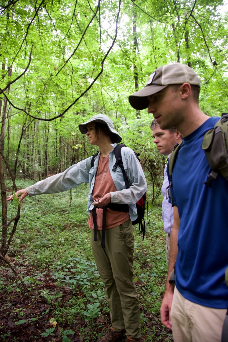
 Martha Eppes, left, David Vinson and John Maas, a UNC Charlotte graduate student, discuss the project while visiting Redlair Preserve. Photo: Lynn Roberson
Q: Back up. Can you explain what that means?
Eppes: You measure the accumulation of beryllium 10, which is an isotope of beryllium. We’ll measure the accumulated amount. It can tell you either the exposure age, like how long that rock has been exposed at the surface of the earth accumulating this beryllium, or you can use calculations to calculate an erosion rate.
We hope to get background erosion rates – long-term erosion rates – over thousands of years for the Catawba basin. People who are interested in sediment that runs off construction sites could compare their data to what a long-term average might be.
Q: But wouldn’t the erosion rate depend on the kind of the rock?
Eppes: The rock at Redlair is basically the same kind of rock that’s all over Charlotte. It’s a type of granite.
Vinson: For the hydrologic sampling, we’ll look at: Stream water levels. Groundwater levels. We do plan to catch precipitation. Water-quality sampling follows this approach also. We collect at the watershed outlets [where the smaller streams join larger ones] but we also have these small watersheds that are intensely instrumented. We collect surface water and groundwater in the small watersheds.
Our long-term data collection is things like temperature, pH [to measure acidity], nutrient pollution, baseline chemistry that can differ from site to site and can also differ over time. We’ll look at inorganics.
Q: What do you think you might find?
Eppes: If people had hypotheses about how urban development is affecting streams in Charlotte, this would give them the database to be able to compare an urban-impacted stream to a “natural system” stream in Gaston County.
Vinson: In the perfect experiment the researcher changes one thing at a time. That’s very hard to do in a natural system. There are things that only happen in one watershed. And there are regional patterns that affect all the watersheds. For example, all the study sites I’ve been working with, from Redlair over to Reedy Creek and Toby Creek in Charlotte, are all on the same geology – it’s called the “Charlotte terrane,” which means consistent rock types. That’s an example of trying to hold one thing as constant as we can.
We look at slope steepness, whether it faces north or south, which affects how much sunlight; we look at human land use; we look at soils. Of all the results that we get, what we’re most interested in are those broad regional patterns, how these systems change with time, with changes in land use, with urbanization.
For a researcher it’s rare to have the opportunity to study one site for 20 years while it becomes urbanized. The Redlair site is valuable because it’s permanently preserved. We can combine several sites that are at different stages of urbanization.
The goal is to unravel all of this complexity, with many variables, to identify what’s really important.
 Japanese stiltgrass, or Microstegium vimineum, is a non-native plant that drives out native species, as shown in this photo from Congaree National Park in South Carolina. Photo: Theresa Yednock (NPS) [Public domain], via Wikimedia Commons
Q: A part of the project will look at the role of invasive plant species. Can you explain what you mean by invasive species and describe what the project will measure?
Eppes: Several plant species that are completely common now in the Piedmont were not native to the Carolinas. Things like privet, autumn olive [Eleagnus umbellata] and microstegium [Japanese stiltgrass or Microstegium vimineum] were brought in as decorative plants or for erosion control, like kudzu, which is probably the best-known example. Then they tend to take over. They outcompete the native plants. Redlair was full of them. The family that owned Redlair and still lives there has expended extreme amounts of energy to rid Redlair of these invasive species.
It’s well understood how removing invasive species influences ecology, but it’s much less well-documented how it influences hydrology. I suspect we’ll see an impact, although what that impact is, I’m not sure. But any plant can affect the quantity or the quality of the water. My experience with invasive species and water is more in New Mexico where you have this bushy tree called salt cedar and it can make the soil saltier, as well as use up enormous amounts of water.
Q: When will the sampling spots get set out?
Vinson: It’s a one-year project. Several things are happening at one time. We are planning to inaugurate the sites by mid-2018.
Q: If you were walking around, what would they look like, what would you see?
Vinson: If you were observant you might see wells – a pipe sticking up out of the ground – 20 to 40 feet deep, sampling the groundwater. A lot of the data-logging instruments are small, hardly noticeable. You might see a rainfall sampler, like a small rain bucket. Much of the electronic data-logging equipment is very compact. You might see some devices that are measuring water levels. Pretty subtle stuff. We only put things out that will blend in.
Q: At what point will you open this data up to anybody?
Eppes: We hope pretty much immediately. The idea is to establish a publicly available website and just have it available. In the long term, city managers and policy makers can use that data as a resource. It’s not just for scientists. When you’re making decisions as a manager or a planner you have to have those types of baseline data.
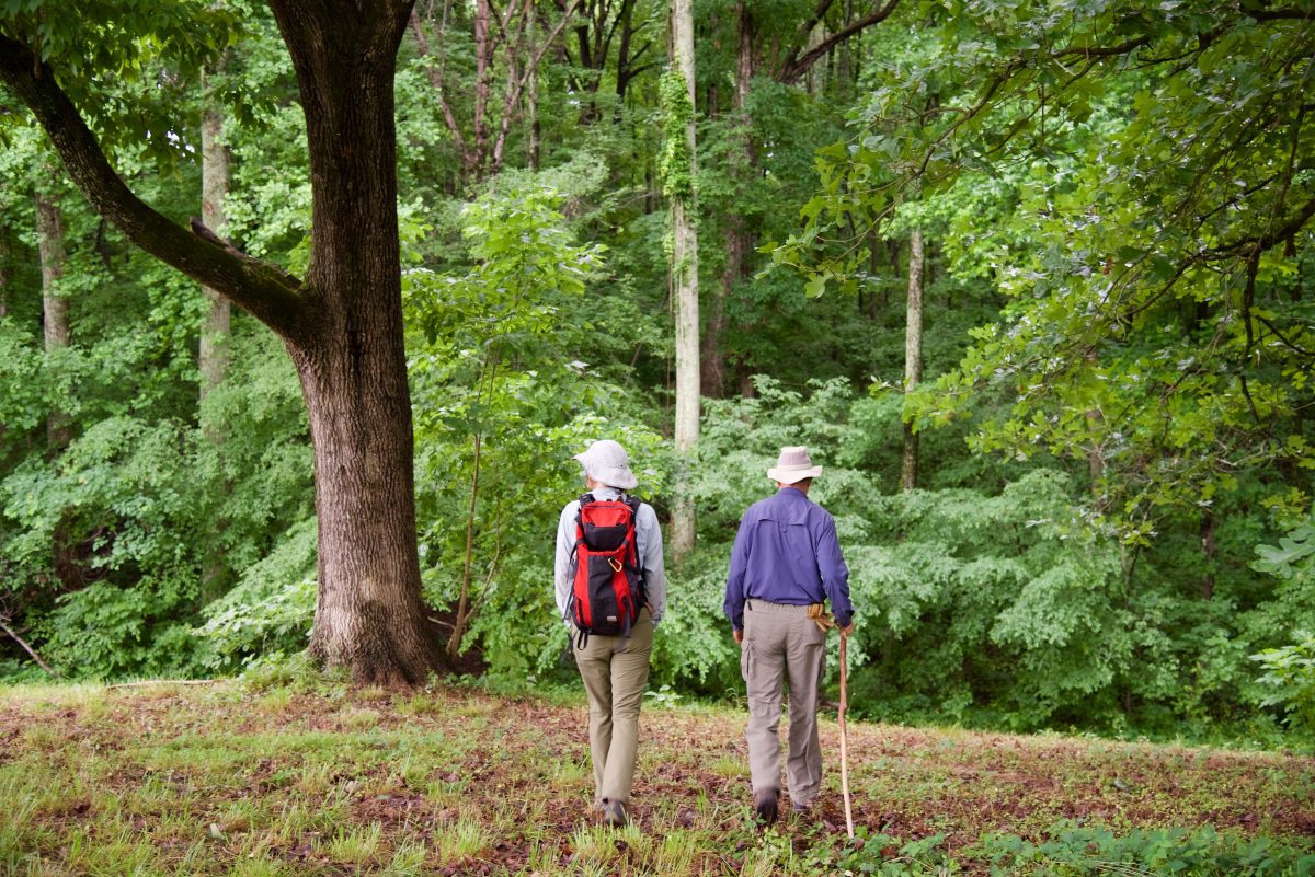
 Professor Martha Eppes, left, and Haywood Rankin, whose family once owned the Redlair Preserve, tour the property. Photo: Lynn Roberson