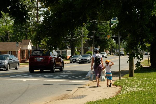
Charlotte’s new mobility plan: ambitious goals, tons of data

A far-reaching new plan could shape Charlotte’s transportation infrastructure for decades to come, reorienting a car-dependent, sprawling Southern city towards a denser, transit-oriented, bike- and pedestrian-friendly future.
Charlotte City Council approved the Strategic Mobility Plan on Monday in a 9-2 vote, with council members Tariq Bokhari and Ed Driggs voting no. The plan was developed alongside the new Unified Development Ordinance and 2040 Vision Plan, one of a slew of new policies being developed as Charlotte wrestles with growth and growing pains.
“It’s got some lofty goals in it. But as a city, I think we can aspire to lofty goals,” said council member Greg Phipps. “I do wonder how long it will take to transform the mindset of people wanting to get in their cars, and rely on them less and less. That’s going to be a challenge.”
But the Strategic Mobility Plan isn’t just an outline of policies meant to guide future growth — it’s also a rich trove of data and analysis on the state of Charlotte’s transportation system. For people who like to nerd out on transit and transportation infrastructure, the 164 pages are full of nuggets to unpack.
After reading through the plan (reading government plans the size of a novella is one of our favorite pastimes), here are some of the highlights, besides the already much-rehashed plans for the Silver Line, Gold Line and other transit programs. (And a hat tip to local cyclist and advocate John Holmes, who went through some of these on Twitter a couple weeks ago).
Making fewer trips and driving less
The Strategic Mobility Plan’s most ambitious goal is for Charlotteans to use something besides a car for half of all trips by 2040. For comparison, more than three quarters of people in Charlotte currently drive to work alone.
While there’s been a lot of attention paid to building other ways for people to get around — more transit, greenways, sidewalks, bike lanes — one of the less-discussed goals of the plan is even more fundamental: Reducing trips altogether.
“While investing in multimodal transportation choices is necessary, our mode share goal cannot be reached without also reducing travel demand,” the plan states. Other parts call for Charlotte to “reduce per capita VMT [vehicle miles traveled].” It might sound counterintuitive in a mobility plan, but a major goal is to get people to move less, or at least not as far.
The underlying reason is pretty simple: With Charlotte sprawling over roughly 310 square miles, most people have to drive, and drive pretty far, to get to work, buy groceries and go about their lives. The median commute to work (pre-covid, anyway) is about 25 minutes each way.
[New Silver Line plan: Ridership favored over development]
You’re a lot more likely to walk a half-mile to get a coffee than you are to walk three miles, but many neighborhoods don’t have any retail or services nearby. And if people don’t have to drive as much and as far, Charlotte might just reach its 50/50 goal.
There’s little chance of reducing travel demand without changing our land use policies to encourage more density, so people don’t have to drive so far for their daily needs. So, keep in mind as you read the Strategic Mobility Plan: It’s as much about land use as it is about transportation, and none of it works without different development patterns.
Why people choose different transportation modes
The Strategic Mobility Plan includes survey results from thousands of Charlotteans the city asked about how they get around — and why they choose to drive, walk, take transit or bike — offering deeper insight into the city’s attitudes towards transit.
- 51.2% of Charlotteans think travel has become more difficult in the past few years, while 13.3% said travel is easier and 35.5% said it’s about the same.
- “Ease of parking” is the key to how people make decisions about how to travel in Charlotte, with 62% of respondents identifying that as the most important factor. You can read that two ways: That building less parking and making it less convenient to park is an essential step to get people to ditch their cars, or that Charlotte’s not ready for car-free and car-lite developments.
- Driving is still seen as the easiest way to get around, with 80.1% of respondents saying driving is “very easy” or “somewhat easy.” The bus, by contrast, is seen as easy by only 14.1% of respondents, with 47.9% saying it’s “not easy” and 38.1% saying they don’t know enough about using the bus to say.
- The two biggest barriers to walking are “not enough sidewalks or crosswalks” (59.8%) and “destinations are too far” (55.7%).
- The single biggest barrier to biking was identified as “Bikeways do not feel safe or comfortable for people of all ages and abilities” (71.2%).
- For transit, the biggest barriers are “Convenience/access to nearby transit stops” (59.8%) and “Routes don’t take me where I need to go” (56.6%). Interestingly, “Service isn’t frequent enough” was identified as a barrier by only 29.1% of respondents.
- When asked whether they agree streets should be redesigned for “all users” (not just cars), almost 90% of respondents agreed. But when the same question was asked with “EVEN if it would increase automobile congestion during peak hours” added, support dropped to about 61%.
- Even after the pandemic ends, 65.2% of respondents anticipate driving to work in their personal vehicles. The proportion of people planning to take public transportation dropped from 8.6% pre-pandemic to 7.9%