The USDA food atlas
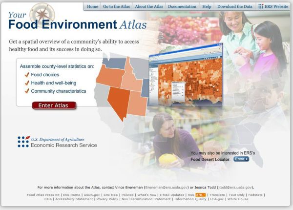
This interactive map of the U.S. displays data on food availability, local foods, health and socioeconomic statistics. Data are displayed at the state or county level, depending on availability.
Staff