Maps

In the early 1950s the not yet established Research Triangle Park (RTP) was pitched to Governor Luther Hodges as a cluster of “two medical schools, two engineering schools and a core of preeminent researchers in every field of science.” Hodges response: he called the presenter (a dean at NC State College) a “huckster.”[i] North Carolinians […]

After boasting one of the nation’s most successful mandatory busing plans to desegregate the district’s schools, Charlotte-Mecklenburg Schools (CMS) has once again become increasingly segregated. This shift has been documented meticulously through numerous recent studies and disseminated to the public through coverage in the local media. In partnership with Council for Children’s Rights, as part […]

High rates of obesity and diabetes have spurred research to understand the causes and to identify prevention strategies. Evaluation of the neighborhood environment as it relates to food access is a growing area of research. Many studies have found that residents in low income and minority communities have poor access to grocery stores and healthy […]
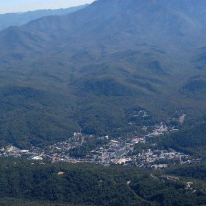
From 1976 to 2006, land development in the North Carolina mountains increased 568 percent – from 34,348 acres to 229,422 acres – and is expected to increase another 63 percent by 2030. Population, meanwhile, increased only 42 percent between 1976 and 2006 and is projected to increase only another 25 percent by 2030. The result? […]
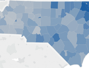
The Renaissance Computing Institute (RENCI) at UNC Charlotte expanded the urban growth mapping and forecasting into 19 counties in the Western part of North Carolina: Alleghany, Ashe, Avery, Buncombe, Cherokee, Clay, Graham, Haywood, Henderson, Jackson, Macon, Madison, Mitchell, Polk, Swain, Transylvania, Watauga, Wilkes, and Yancey Counties. The final report maps historical development patterns from 1976-2030 […]
The Transportation Service Indicator Report is released annually by the North Carolina Department of Public Instruction (NCDPI) and compiled at the UNC Charlotte Urban Institute in cooperation with the Institute for Transportation Research and Education at North Carolina State University. This report summarizes operational data for every North Carolina public school district. Based on data […]
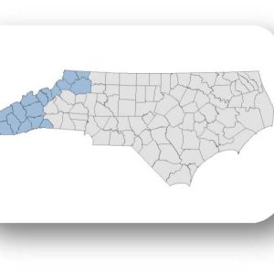
The Renaissance Computing Institute (RENCI) at UNC Charlotte expanded the urban growth mapping and forecasting into 19 counties in the Western part of North Carolina: Alleghany, Ashe, Avery, Buncombe, Cherokee, Clay, Graham, Haywood, Henderson, Jackson, Macon, Madison, Mitchell, Polk, Swain, Transylvania, Watauga, Wilkes, and Yancey Counties. The full research report is available in our web […]