Maps
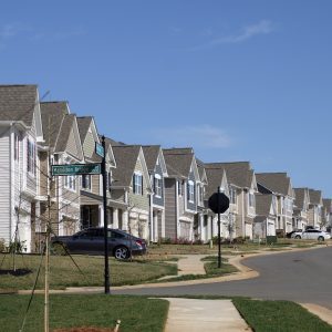
For decades, the single-family home rental market was a small-scale industry, made up almost entirely of local landlords who rented out a few houses they bought as investment properties, or perhaps inherited, or held on to after relocating. But the years since the Great Recession have witnessed a dramatic shift, as Wall Street-backed rental companies […]
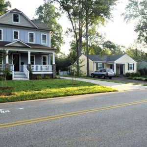
Which Charlotte neighborhoods have gotten denser, with more residences per acre? Where have average home sizes ballooned? Is the proportion of single-family homes rising or falling in neighborhoods where new apartments and tear-downs vie for space? Newly updated maps on the Charlotte-Mecklenburg Quality of Life Explorer allow you to probe these questions and visualize changes […]

This map shows the cumulative number of confirmed coronavirus cases per 100,000 residents in the 14-county region the UNC Charlotte Urban Institute serves. The number varies significantly between the counties, which could be a reflection of factors ranging from population density to how many tests have been administered. This map, and the below graphics, will […]
By Nathan Griffin
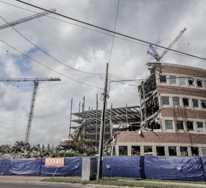
Charlotte’s aging buildings are being torn down at an alarming rate, the product of a fast-growing population and strong real estate market.
Some were fine examples of classic architecture, like the long since demolished Masonic Temple on South Tryon, an Egyptian Revival-style building from 1914, or Mecklenburg County’s first main library, built in 1903 with a grant from Andrew Carnegie.
Others were notable for their cultural and historical connection — for instance, the recently demolished library and auditorium at Central Piedmont Community College’s central campus, which provided a community resource for learning and gathering. When these buildings are destroyed, some small part of the character and history of the city is lost with them [ …]
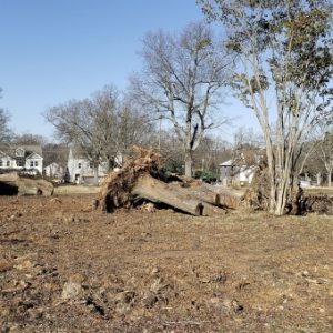
Charlotte is losing over three football fields a day worth of trees. That’s the sobering conclusion of a study by the University of Vermont in collaboration with TreesCharlotte, detailing how development, age, storms and other factors have cut down Charlotte’s tree canopy. The percentage of Charlotte covered by tree canopy fell from 49% to 45% […]
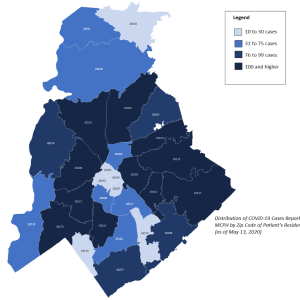
The coronavirus pandemic has generated a flood of data, maps and other resources to track the spread — and places to get help — throughout the region. Many of these resources are scattered across different websites and dashboards. Here’s a brief summary of what’s available, collected in one place. We will update this list as […]

Although North and South Carolina are urbanizing, with fast-growing cities and suburbs, agriculture remains a major piece of the economy for both states. Agriculture contributes $78 billion to North Carolina’s economy and $42 billion to South Carolina’s. It’s fairly well-known that North Carolina is a major turkey producer (No. 2 in the nation). But what […]

Charlotte’s popular Yiasou Greek Festival kicks off this week, the first in a series of international festivals taking place in Hickory and Charlotte and featuring Indian, German and Latino culture, with UNC Charlotte’s 40th annual International Festival on Oct. 17. With the spotlight on those cultural groups, researchers at the UNC Charlotte Urban Institute have […]
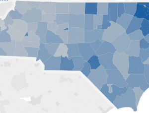
This week’s map illustrates the teacher turnover rate, by school district, for the 2013-14 school year. Teacher turnover is the percentage of teachers who are no longer employed in the district from one year to the next. In 2013-14, 14.1 percent (13,557) of all North Carolina teachers left their school district. In addition to the […]
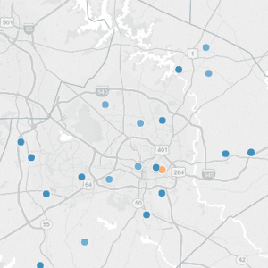
This week’s map takes a closer look at the latest Annual Measurable Objectives (AMOs) at the school level. AMOs are a series of performance targets that state, school districts and schools must meet on designated assessments and indicators for specific subgroups of students annually to meet the requirements of the Elementary and Secondary Education Act […]
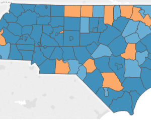
This week’s map looks at the school districts that met annual measurable objectives (AMOs) across the state. AMOs are a series of performance targets that state, school districts and schools must meet on designated assessments and indicators for specific subgroups of students annually to meet the requirements of the Elementary and Secondary Education Act (ESEA) […]
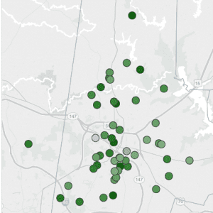
This week’s map takes a closer look at the newest proficiency data at the school level. The table to the right of the map lists proficiency rates in descending order for the subject and grade selected for all schools in the district. You can also view school proficiency rates for specific grades, subjects and student […]